Elevation
Topographical maps naturally came to mind for helping students visualize how a 3-D objects can be represented by a 2-D image
Responsive & InteractiveStudent work with NeoScience Topographic Modeling Model
Hands on
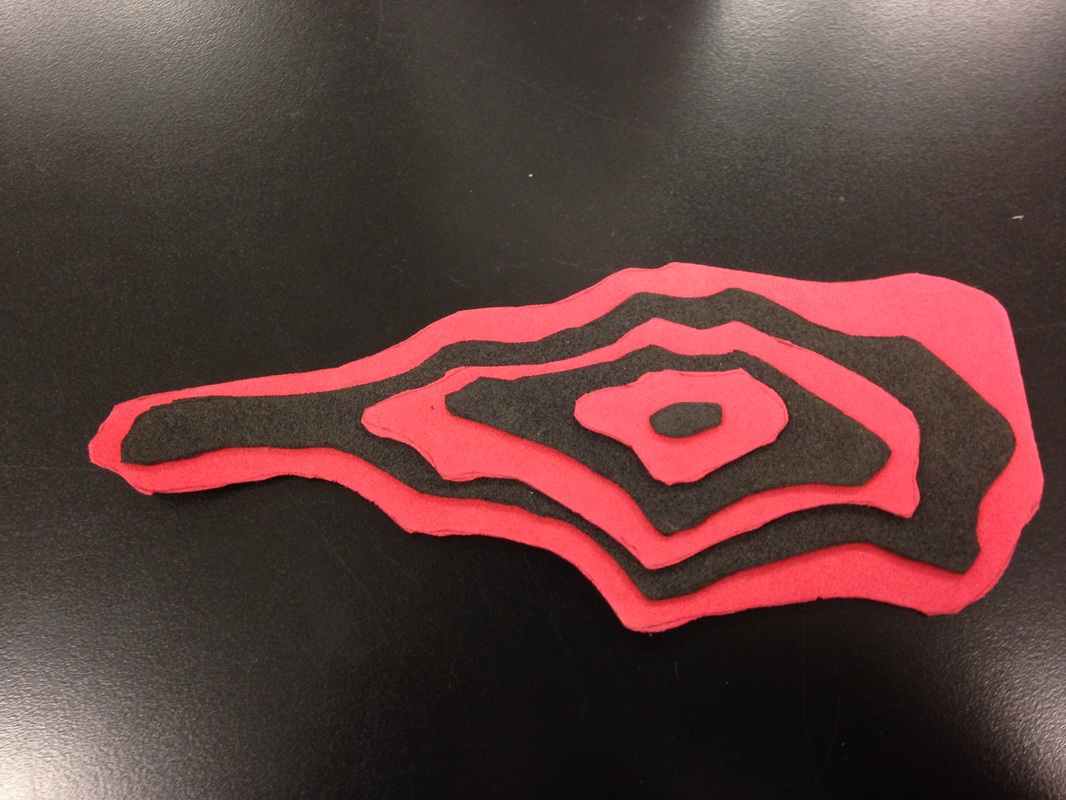
Build your own mountain activity with foam, sticky sheets.
|
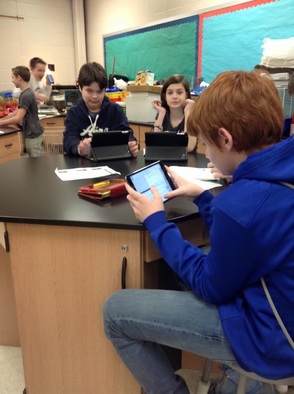
Tablet ReadyGoogle Maps and Topoquest.com
|
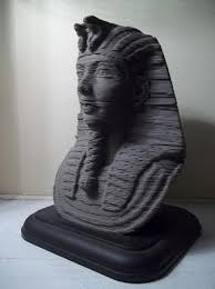
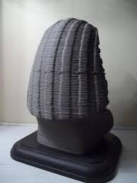
Wider ScopeUsing 3-d sculpture to enrich lessons on topo maps
|